Primary text: Sailing Tours: The Yachtsman's Guide to the Cruising Waters of the English Coast: Chapter 2
Dublin Core
Title
Primary text: Sailing Tours: The Yachtsman's Guide to the Cruising Waters of the English Coast: Chapter 2
Description
Manual describing the boating routes along the coast of England and Scotland published in 1895. Chapter 2 describes the journey around Cornwall and the dangers of sailing by Godrevy Island, including a description of the function of the lighthouse.
Creator
Frank Cowper
Source
https://babel.hathitrust.org/cgi/pt?id=hvd.hn5w39&view=1up&seq=10&skin=2021
Type
ebook
Publisher
Hathi Trust
Date
6 December 2021
Contributor
Rebecca Miller & Tori O'Dea
Text Item Type Metadata
Text
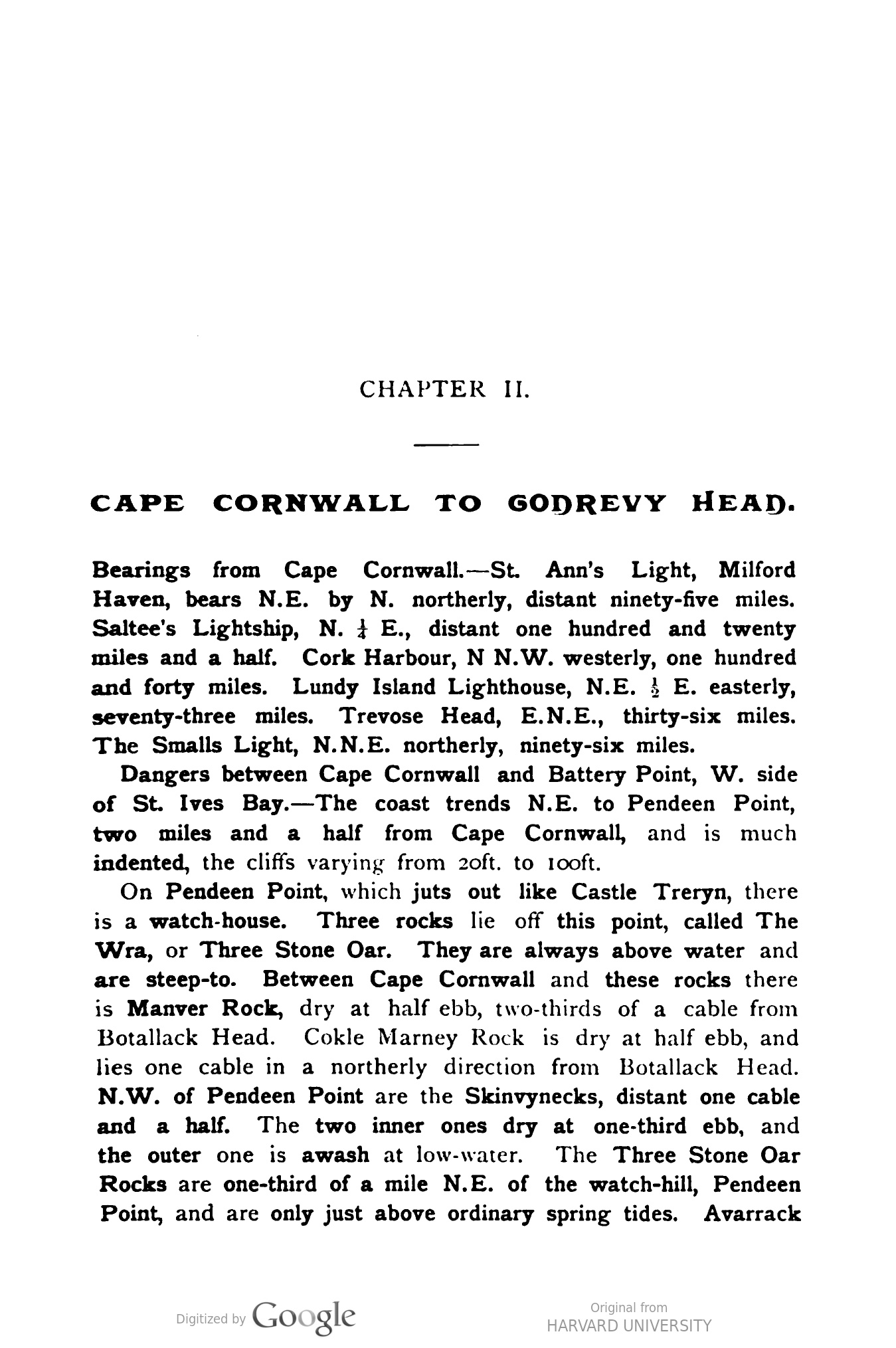
CHAPTER II.
CAPE CORNWALL TO GODREVY HEAD.
Haven, bears, Mib, N. E., distanty.W. we
Bearings from Cape Cornwall.–St. Ann's Light, Milford
Haven, bears N.E. by N. northerly, distant ninety-five miles.
Saltee's Lightship, N. & E., distant one hundred and twenty
miles and a half. Cork Harbour, N N.W. westerly, one hundred
and forty miles. Lundy Island Lighthouse, N.E. E. easterly,
seventy-three miles. Trevose Head, E.N.E., thirty-six miles.
The Smalls Light, N.N.E. northerly, ninety-six miles.
Dangers between Cape Cornwall and Battery Point, W. side
of St. Ives Bay.—The coast trends N.E. to Pendeen Point,
two miles and a half from Cape Cornwall, and is much
indented, the cliffs varying from 2oft. to 100ft.
On Pendeen Point, which juts out like Castle Treryn, there
is a watch-house. Three rocks lie off this point, called The
Wra, or Three Stone Oar. They are always above water and
are steep-to. Between Cape Cornwall and these rocks there
is Manver Rock, dry at half ebb, two-thirds of a cable from
Botallack Head. Cokle Marney Rock is dry at half ebb, and
lies one cable in a northerly direction from Botallack Head.
N.W. of Pendeen Point are the Skinvynecks, distant one cable
and a half. The two inner ones dry at one-third ebb, and
the outer one is awash at low-water. The Three Stone Oar
Rocks are one-third of a mile N.E. of the watch-hill, Pendeen
Point, and are only just above ordinary spring tides. Avarrack Rock, lying S.W. by W. three-quarters of a mile from the
Three Stone Oar Rocks, is dry at half ebb.
There is a cove one mile E. of Pendeen Point, with a coast-
guard station and rocket apparatus. Off the cove, N.E., at two
cables from the shore, lie the Mozen Rocks, which dry at
three-quarters ebb.
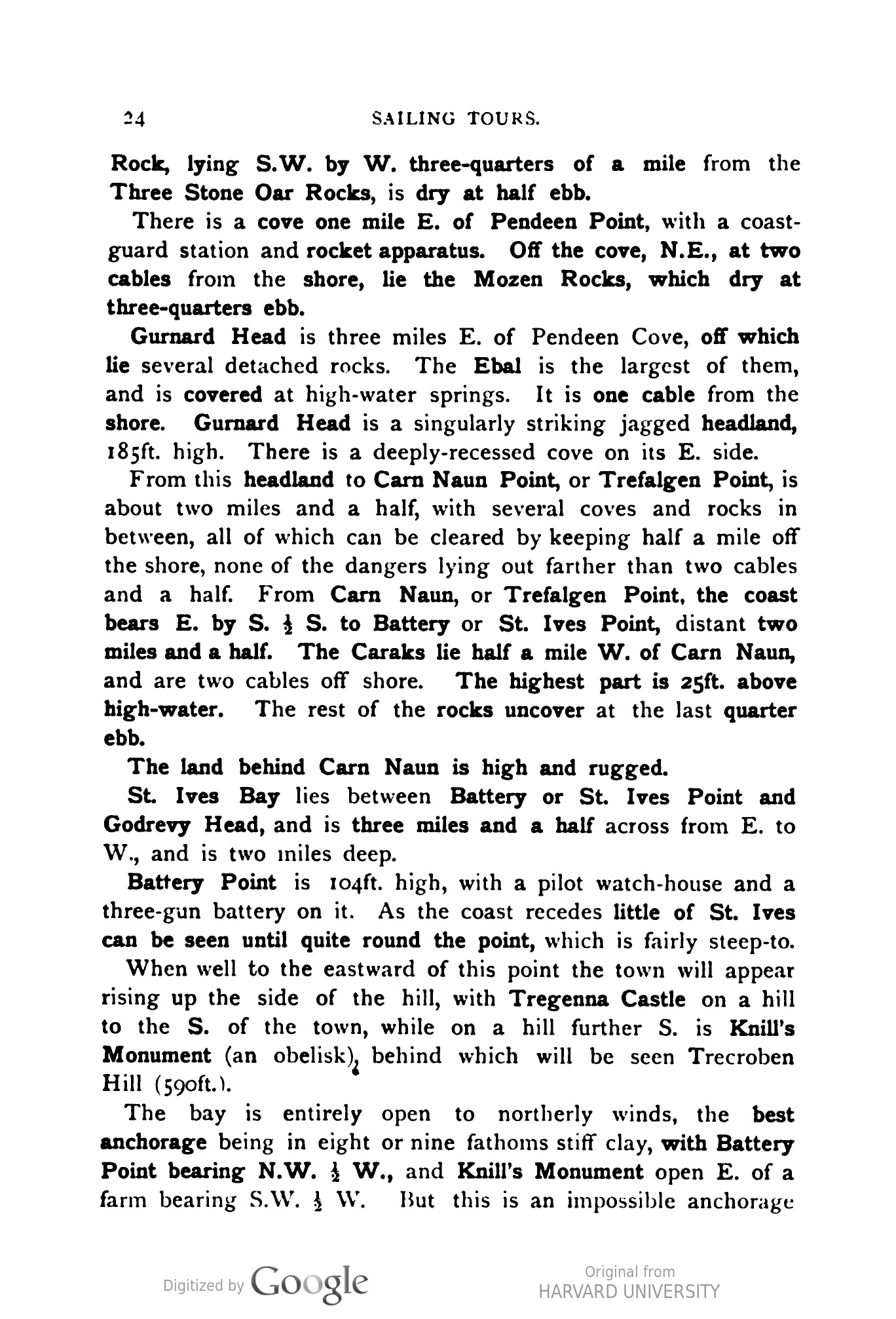
Gurnard Head is three miles E. of Pendeen Cove, off which
lie several detached rocks. The Ebal is the largest of them,
and is covered at high-water springs. It is one cable from the
shore. Gurnard Head is a singularly striking jagged headland,
185ft. high. There is a deeply-recessed cove on its E. side.
From this headland to Carn Naun Point, or Trefalgen Point, is
about two miles and a half, with several coves and rocks in
between, all of which can be cleared by keeping half a mile off
the shore, none of the dangers lying out farther than two cables
and a half. From Carn Naun, or Trefalgen Point, the coast
bears E. by S. } S. to Battery or St. Ives Point, distant two
miles and a half. The Caraks lie half a mile W. of Carn Naun,
and are two cables off shore. The highest part is 25ft. above
high-water. The rest of the rocks uncover at the last quarter
ebb.
The land behind Carn Naun is high and rugged.
St. Ives Bay lies between Battery or St. Ives Point and
Godrevy Head, and is three miles and a half across from E. to
W., and is two iniles deep.
Battery Point is 104ft. high, with a pilot watch-house and a
three-gun battery on it. As the coast recedes little of St. Ives
can be seen until quite round the point, which is fairly steep-to.
When well to the eastward of this point the town will appear
rising up the side of the hill, with Tregenna Castle on a hill
to the S. of the town, while on a hill further S. is Knill's
Monument (an obelisk), behind which will be seen Trecroben
Hill (590ft.).
The bay is entirely open to northerly winds, the best
anchorage being in eight or nine fathoms stiff clay, with Battery
Point bearing N.W. 1 W., and Knill's Monument open E. of a
farm bearing S.W. · W. But this is an impossible anchorage with N. or even W. winds, and is not very comfortable with a
strong E. one. As a matter of fact, St. Ives is not a place which
offers any shelter except with off-shore winds.
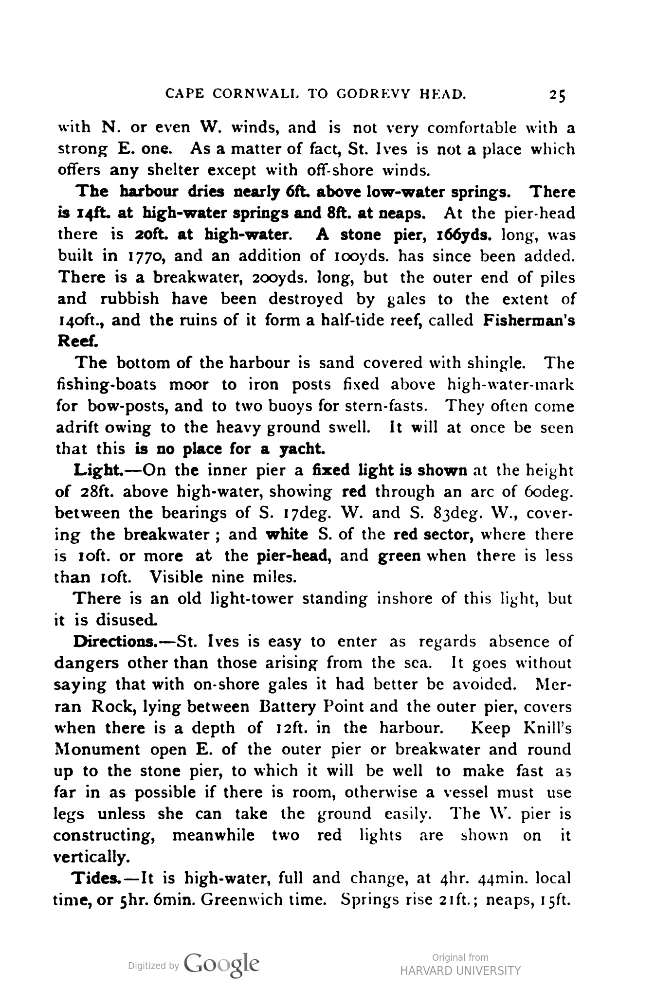
The harbour dries nearly 6ft. above low-water springs. There
is 14ft. at high-water springs and 8ft. at neaps. At the pier-head
there is 20ft. at high-water. A stone pier, 166yds. long, was
built in 1770, and an addition of rooyds. has since been added.
There is a breakwater, 200yds. long, but the outer end of piles
and rubbish have been destroyed by gales to the extent of
140ft., and the ruins of it form a half-tide reef, called Fisherman's
Reef.
The bottom of the harbour is sand covered with shingle. The
fishing-boats moor to iron posts fixed above high-water-mark
for bow-posts, and to two buoys for stern-fasts. They often come
adrift owing to the heavy ground swell. It will at once be seen
that this is no place for a yacht.
Light.—On the inner pier a fixed light is shown at the height
of 28ft. above high-water, showing red through an arc of 6odeg.
between the bearings of S. 17deg. W. and S. 83deg. W., cover-
ing the breakwater; and white S. of the red sector, where there
is roft. or more at the pier-head, and green when there is less
than Toft. Visible nine miles.
There is an old light-tower standing inshore of this light, but
it is disused.
Directions.-St. Ives is easy to enter as regards absence of
dangers other than those arising from the sea. It goes without
saying that with on-shore gales it had better be avoided. Mer-
ran Rock, lying between Battery Point and the outer pier, covers
when there is a depth of 12ft. in the harbour. Keep Knill's
Monument open E. of the outer pier or breakwater and round
up to the stone pier, to which it will be well to make fast as
far in as possible if there is room, otherwise a vessel must use
legs unless she can take the ground easily. The W. pier is
constructing, meanwhile two red lights are shown on it
vertically.
Tides. - It is high-water, full and change, at 4hr. 44min. local
time, or 5hr. 6min. Greenwich time. Springs rise 21ft.; neaps, 15ft.
Hayle Estuary.-At the head, or S., of St. Ives Bay lies the
entrance to Hayle Creek, the outlet of several small streams.
As the whole isthmus across to Marazion on Mounts Bay
is not more than five miles there is not much room for a
large river.
The whole coast from Carbis Bay to Godrevy Head is
bordered by wide sands. A channel is kept open to allow of
vessels drawing 14ft. to enter at high-water by sluicing the
estuary from reservoirs, and a half-tide dyke, 643yds. long,
extends from Chapel Anjou Point on the W. side of the
entrance, on which are five perches or warping posts, and two
black buoys mark the continuation of the sand bank seaward.
Square red buoys, with rings for warping, mark the E. side.
The outer red buoy is a can buoy.
The bar, marked by a black nun buoy, has a depth of 2oft.
at high-water springs, and 14ft. high-water neaps, and is dry
at low-water ; but vessels drawing 6ft. can get up as far as
Lelant at three-quarters flood.
Tide Lights.-On the W. side, at Chapel Anjou Point, two
fixed white lights are shown when there is 12ft. on the bar.
The high light is painted red and stands on three legs. The
low lighthouse is placed on four legs and painted black. They
are 92yds. apart, and are 8ift. and 59ft. above high-water.
The lights are visible six miles. The lights are shifted as the
bar changes.
Lelant Church is a good mark to steer for over the W.
point of Hayle entrance until the bar buoy is seen.
At Lelant Quay, opposite Hayle on the W. side, a red light
is shown.
The coast from Hayle Bar Buoy is bordered with sand,
stretching out nearly a quarter of a mile from the shore as far
as Godrevy Head. Towans, or sand hills, fringe the coast as
far as Gwythian, where the shore becomes steep, with rocks
showing through the sand.
Bassack Rock lies S.W. by S. of Godrevy Island, four cables,
from the shore. It dries at two-thirds ebb. Lelant Church
open of Black Cliff, S.W., clears it to the N.W.
Godrevy Head is 228ft. high, and is bold, but with ledges
extending off it one cable and a half.
Godrevy Island lies off the head. It is Soft. high, with an
islet off its N.W. side. The S.E. side is foul with rocks, drying
at half ebb. On the S.W. is a reef awash at low-water, half-
a-cable off, called Shore Lanner.
There is a channel, with 6ft. low-water, one cable wide,
between the island and the head.
Godrevy Lighthouse.-In an octagonal tower, 86ft. high, is
shown a flashing white light from a height of 120ft. above
high-water, giving a fash every rosec., visible fifteen miles.
To point out The Stones, a fixed red light is shown from the
same tower, 27ft. below the flashing light. The red light is
only visible between the bearings of S. by E. & E. to S.E. E.
Fog-signal.-- A bell is sounded every 5sec.
The Stones.—These dangers lie one mile and a tenth from
Godrevy Lighthouse, bearing N.W. } N. Hevah Rock is the
outermost of these rocks, and uncovers at low-water springs,
and the rocky bank is one cable and a half in extent to the
three-fathoms depth. Between it and the eastern group of rocks,
extending nearly half a mile, is a deep-water channel, with a
strong tide setting through it. The eastern rocks, which show
at low-water, are four, uncovering from one-third to three-
quarters ebb.
A black buoy with staff and ball is moored in ten fathoms,
a quarter of a mile N.E. of the Hevah Rock, but it is often
washed away.
Clearing Marks.-Gurnard Head, open of Carn Naun, W. by
S., leads one-third of a mile N. of The Stones. Gwinear Church
(behind Gwythian) in line with the E. side of Godrevy Island,
S. & W., leads E. of The Stones ; and Gwinear Church, in line
with the old engine chimney, bearing S. by E. & E., leads to
the W. of them.
The Sound between The Stones and Godrevy Island is nearly
half-a-mile wide, with four fathoms and three quarters depth.
Trecobben Hill (590ft.) between Carrack Gladdon Farm and
Fishery Beacon House, bearing S.W. \ W., leads through.
Remarks on the appearance of the coast and objects of
interest visible from the sea, or worth visiting from St. Ives,
between Cape Cornwall and Godrevy Head. — The coast is
very rugged and forbidding-looking after Cape Cornwall is
passed. The celebrated Botallack mine lies just beyond the
Cape. This mine goes down to the depth of 1050ft., and some
of its galleries extend 12ooſt. or more under the sea. The roar
of the waves is said to be heard distinctly down below when
the Atlantic is tumbling home before a howling N.W. or W.
gale. The Prince of Wales visited this mine with the Princess
when he took his bride to make the acquaintance of her new
Duchy. Behind Botallack, St. Just, in Penarth, is seen. The
church is very interesting, with a tomb to one Silus, said to
date from the sixth century. There is some quaint Celtic
tracery, and the columns have unique capitals. In the village
there is what is called a British amphitheatre, and several
ancient prehistoric monuments are in the neighbourhood.
It was St. Just who behaved so badly to St. Keverne when
he dined with him. He stole his spoons. St. Keverne did not
actually know this, but he knew “St. Joost.” So after dinner
he said he would see him home part of the way, anyhow. It
was only a walk of about thirty miles, but Cornish saints
thought nothing of that. On the way he picked up some
stones ; they did not weigh more than half-a-ton or so each.
He was able to conceal these about his person, as saints did
not wear trousers, only loose frocks.
When they reached Breage, nearly half-way to St. Just,
St. Keverne said he must be going back, but would like to take
his spoons with him if St. Just did not mind. St. Just did
mind, however, and was very indignant. However, St. Keverne,
after listening politely for a short time, produced his stones,
with which he proceeded to bombard the person of his saintly
brother, whereupon St. Just dropped the spoons and ran.
The stones are there at Tremen Keverne, near Breage, to
this day, and there are no others like them, except at Crousa-
down, where St. Keverne picked them up. So there is no
doubt about the story.
Sailing E. we see Pendeen Point. Behind it is a new church
built in imitation of the cathedral of Iona, at the expense
of Mr. Aitken, the vicar. Pendeen House dates from the
seventeenth century, and there is an ancient cave-dwelling near
it. Lanyon Cromlech, or the Giant's Quoit, lies inland, from
the centre of the bay, between Pendeen Point and Gurnard
Head, about two miles as the crow flies. The upper slab is
18ft. long by 8ft. broad, and three stones about 5ft. high sup-
port it. There is another cromlech close by on Lanyon Farm;
and the Men-an-Tol, or Holed Stone, with the Men Scryfa, or
stone inscribed with the words “Rialobran Cunova Fil”
encised on it, are a few yards farther on. These prehistoric
remains precisely resenible the menhirs and dolmens of
Brittany, and were evidently erected by the same or kindred
people.
Conspicuous behind the rugged headland of Gurnard is
Mulfra Quoit, a high hill crowned by a ruined cromlech, from
which there is a magnificent view over Mounts Bay and the
Bristol Channel.
• The picturesque village of Zennor lies below, with its fishing.
cove and old church.
Behind Carn Naun the hills rise steeply, and the scenery is
wild – Zennor lying in a deep valley shut out from the rest of
the world by rugged steeps and moorland. The contrast
between the N. and S. coasts is very conspicuous when ashore.
All here is bleak and barren, whereas at Gulval, only six
miles away, tropical plants grow in the open air.
St. Ives is built on the steep slopes of hills, to its considerable
discomfort sometimes after heavy rains, as the water pours
down through the steep streets, flooding the shops and houses.
The rains of December, 1894, were remarkable for the destruction
they caused.
The old name of the town was Porth-la, from the name of
an Irish virgin who travelled with St. Piran when he came
over as a missionary in 460. Here she died and was buried.
It is curious to note how in the fourth and fifth centuries
everybody was busy converting some one else. The Bretons
say the Welsh or British saints came over and converted
them; the Cornishmen say Irish saints converted them; the
Irish say that they were converted by the Scotch ; and the
Scotch by the Gauls. But they were all doing it about the
same time, and no one seems to have thought of converting
their own people. However, St. la gave her name to St.
Ives.
The town suffered during the Cornish revolt in 1549, when
so much landed property changed hands, passing from the old
families into the possession of the new courriers ; and again in
the civil wars of Charles I.
The population is 6445, and there is a very comfortable
hotel, Tregenna Castle, standing in beautiful grounds. The
railway station is the terminus of the branch line of the Great
Western Railway from St. Erth.
The quay is very busy in the pilchard season, from July to
October, and the fishing-luggers are smart, handsome craft.
They have to moor stoutly in the harbour owing to the scour
of the sea in westerly and northerly gales.
The church is a fifteenth-century building with a Norman
font, and the bones of St. la-so they say.
Battery Point is at the end of what is called the island.
Boat-building is carried on here and at Hayle ; but the chief
support of the place is the pilchard fishery, the fish being
exported to Italy.
The monument which has been referred to as a sea-mark is
a granite pyramid erected by John Knill, collector of customs,
in 1782, at St. Ives, in memory of himself. He died in 1791,
and established a quinquennial festival to his own memory.
By his will he left property to provide for the following items
of expenditure: £10 for a dinner for the mayor, the vicar,
and the collector of customs, who may each invite three guests;
£5 to be divided among ten little girls, born in the borough,
who are to dance round his grave ; £ I to the fiddler to play
to the girls ; £2 to two widows who are 10 act as chaperons ;
£i for ribbons ; £i for an account book and a marriage-
portion for a St. Ives woman selected for good conduct; £5
as a prize for knitting nets; £5 for curing pilchards ; and
65 to two “follower boys."
The date of the festival is July 25.
At Carbis Bay there is a watering-place, and it is becoming
a favourite bathing-place.
Lelant is an old fishing village, and a great resort of the
pilchard boats. It has a quay, and might be a good place to
lay up small yachts; it is opposite Hayle. At Hayle there is
a fair amount of foreign and coasting trade. The wharves
accommodate a good inany vessels. There are building slips
and machinery works, and there is a steam tug to assist vessels
in and out.
If only there were a little more water always in the river
Hayle would be a convenient shelter to stop at in coasting up
the Bristol Channel.
The coast is bordered by sand hills, some rooft. high, between
Phillack, on the E. side of Hayle estuary, and Gwythian,
which is the last village before Godrevy Head is reached.
Inland the country rises to high hills, lying between Cam-
borne, Penrhyn, and Helston, but the view offers nothing of a
remarkable nature.
CAPE CORNWALL TO GODREVY HEAD.
Haven, bears, Mib, N. E., distanty.W. we
Bearings from Cape Cornwall.–St. Ann's Light, Milford
Haven, bears N.E. by N. northerly, distant ninety-five miles.
Saltee's Lightship, N. & E., distant one hundred and twenty
miles and a half. Cork Harbour, N N.W. westerly, one hundred
and forty miles. Lundy Island Lighthouse, N.E. E. easterly,
seventy-three miles. Trevose Head, E.N.E., thirty-six miles.
The Smalls Light, N.N.E. northerly, ninety-six miles.
Dangers between Cape Cornwall and Battery Point, W. side
of St. Ives Bay.—The coast trends N.E. to Pendeen Point,
two miles and a half from Cape Cornwall, and is much
indented, the cliffs varying from 2oft. to 100ft.
On Pendeen Point, which juts out like Castle Treryn, there
is a watch-house. Three rocks lie off this point, called The
Wra, or Three Stone Oar. They are always above water and
are steep-to. Between Cape Cornwall and these rocks there
is Manver Rock, dry at half ebb, two-thirds of a cable from
Botallack Head. Cokle Marney Rock is dry at half ebb, and
lies one cable in a northerly direction from Botallack Head.
N.W. of Pendeen Point are the Skinvynecks, distant one cable
and a half. The two inner ones dry at one-third ebb, and
the outer one is awash at low-water. The Three Stone Oar
Rocks are one-third of a mile N.E. of the watch-hill, Pendeen
Point, and are only just above ordinary spring tides. Avarrack Rock, lying S.W. by W. three-quarters of a mile from the
Three Stone Oar Rocks, is dry at half ebb.
There is a cove one mile E. of Pendeen Point, with a coast-
guard station and rocket apparatus. Off the cove, N.E., at two
cables from the shore, lie the Mozen Rocks, which dry at
three-quarters ebb.
Gurnard Head is three miles E. of Pendeen Cove, off which
lie several detached rocks. The Ebal is the largest of them,
and is covered at high-water springs. It is one cable from the
shore. Gurnard Head is a singularly striking jagged headland,
185ft. high. There is a deeply-recessed cove on its E. side.
From this headland to Carn Naun Point, or Trefalgen Point, is
about two miles and a half, with several coves and rocks in
between, all of which can be cleared by keeping half a mile off
the shore, none of the dangers lying out farther than two cables
and a half. From Carn Naun, or Trefalgen Point, the coast
bears E. by S. } S. to Battery or St. Ives Point, distant two
miles and a half. The Caraks lie half a mile W. of Carn Naun,
and are two cables off shore. The highest part is 25ft. above
high-water. The rest of the rocks uncover at the last quarter
ebb.
The land behind Carn Naun is high and rugged.
St. Ives Bay lies between Battery or St. Ives Point and
Godrevy Head, and is three miles and a half across from E. to
W., and is two iniles deep.
Battery Point is 104ft. high, with a pilot watch-house and a
three-gun battery on it. As the coast recedes little of St. Ives
can be seen until quite round the point, which is fairly steep-to.
When well to the eastward of this point the town will appear
rising up the side of the hill, with Tregenna Castle on a hill
to the S. of the town, while on a hill further S. is Knill's
Monument (an obelisk), behind which will be seen Trecroben
Hill (590ft.).
The bay is entirely open to northerly winds, the best
anchorage being in eight or nine fathoms stiff clay, with Battery
Point bearing N.W. 1 W., and Knill's Monument open E. of a
farm bearing S.W. · W. But this is an impossible anchorage with N. or even W. winds, and is not very comfortable with a
strong E. one. As a matter of fact, St. Ives is not a place which
offers any shelter except with off-shore winds.
The harbour dries nearly 6ft. above low-water springs. There
is 14ft. at high-water springs and 8ft. at neaps. At the pier-head
there is 20ft. at high-water. A stone pier, 166yds. long, was
built in 1770, and an addition of rooyds. has since been added.
There is a breakwater, 200yds. long, but the outer end of piles
and rubbish have been destroyed by gales to the extent of
140ft., and the ruins of it form a half-tide reef, called Fisherman's
Reef.
The bottom of the harbour is sand covered with shingle. The
fishing-boats moor to iron posts fixed above high-water-mark
for bow-posts, and to two buoys for stern-fasts. They often come
adrift owing to the heavy ground swell. It will at once be seen
that this is no place for a yacht.
Light.—On the inner pier a fixed light is shown at the height
of 28ft. above high-water, showing red through an arc of 6odeg.
between the bearings of S. 17deg. W. and S. 83deg. W., cover-
ing the breakwater; and white S. of the red sector, where there
is roft. or more at the pier-head, and green when there is less
than Toft. Visible nine miles.
There is an old light-tower standing inshore of this light, but
it is disused.
Directions.-St. Ives is easy to enter as regards absence of
dangers other than those arising from the sea. It goes without
saying that with on-shore gales it had better be avoided. Mer-
ran Rock, lying between Battery Point and the outer pier, covers
when there is a depth of 12ft. in the harbour. Keep Knill's
Monument open E. of the outer pier or breakwater and round
up to the stone pier, to which it will be well to make fast as
far in as possible if there is room, otherwise a vessel must use
legs unless she can take the ground easily. The W. pier is
constructing, meanwhile two red lights are shown on it
vertically.
Tides. - It is high-water, full and change, at 4hr. 44min. local
time, or 5hr. 6min. Greenwich time. Springs rise 21ft.; neaps, 15ft.
Hayle Estuary.-At the head, or S., of St. Ives Bay lies the
entrance to Hayle Creek, the outlet of several small streams.
As the whole isthmus across to Marazion on Mounts Bay
is not more than five miles there is not much room for a
large river.
The whole coast from Carbis Bay to Godrevy Head is
bordered by wide sands. A channel is kept open to allow of
vessels drawing 14ft. to enter at high-water by sluicing the
estuary from reservoirs, and a half-tide dyke, 643yds. long,
extends from Chapel Anjou Point on the W. side of the
entrance, on which are five perches or warping posts, and two
black buoys mark the continuation of the sand bank seaward.
Square red buoys, with rings for warping, mark the E. side.
The outer red buoy is a can buoy.
The bar, marked by a black nun buoy, has a depth of 2oft.
at high-water springs, and 14ft. high-water neaps, and is dry
at low-water ; but vessels drawing 6ft. can get up as far as
Lelant at three-quarters flood.
Tide Lights.-On the W. side, at Chapel Anjou Point, two
fixed white lights are shown when there is 12ft. on the bar.
The high light is painted red and stands on three legs. The
low lighthouse is placed on four legs and painted black. They
are 92yds. apart, and are 8ift. and 59ft. above high-water.
The lights are visible six miles. The lights are shifted as the
bar changes.
Lelant Church is a good mark to steer for over the W.
point of Hayle entrance until the bar buoy is seen.
At Lelant Quay, opposite Hayle on the W. side, a red light
is shown.
The coast from Hayle Bar Buoy is bordered with sand,
stretching out nearly a quarter of a mile from the shore as far
as Godrevy Head. Towans, or sand hills, fringe the coast as
far as Gwythian, where the shore becomes steep, with rocks
showing through the sand.
Bassack Rock lies S.W. by S. of Godrevy Island, four cables,
from the shore. It dries at two-thirds ebb. Lelant Church
open of Black Cliff, S.W., clears it to the N.W.
Godrevy Head is 228ft. high, and is bold, but with ledges
extending off it one cable and a half.
Godrevy Island lies off the head. It is Soft. high, with an
islet off its N.W. side. The S.E. side is foul with rocks, drying
at half ebb. On the S.W. is a reef awash at low-water, half-
a-cable off, called Shore Lanner.
There is a channel, with 6ft. low-water, one cable wide,
between the island and the head.
Godrevy Lighthouse.-In an octagonal tower, 86ft. high, is
shown a flashing white light from a height of 120ft. above
high-water, giving a fash every rosec., visible fifteen miles.
To point out The Stones, a fixed red light is shown from the
same tower, 27ft. below the flashing light. The red light is
only visible between the bearings of S. by E. & E. to S.E. E.
Fog-signal.-- A bell is sounded every 5sec.
The Stones.—These dangers lie one mile and a tenth from
Godrevy Lighthouse, bearing N.W. } N. Hevah Rock is the
outermost of these rocks, and uncovers at low-water springs,
and the rocky bank is one cable and a half in extent to the
three-fathoms depth. Between it and the eastern group of rocks,
extending nearly half a mile, is a deep-water channel, with a
strong tide setting through it. The eastern rocks, which show
at low-water, are four, uncovering from one-third to three-
quarters ebb.
A black buoy with staff and ball is moored in ten fathoms,
a quarter of a mile N.E. of the Hevah Rock, but it is often
washed away.
Clearing Marks.-Gurnard Head, open of Carn Naun, W. by
S., leads one-third of a mile N. of The Stones. Gwinear Church
(behind Gwythian) in line with the E. side of Godrevy Island,
S. & W., leads E. of The Stones ; and Gwinear Church, in line
with the old engine chimney, bearing S. by E. & E., leads to
the W. of them.
The Sound between The Stones and Godrevy Island is nearly
half-a-mile wide, with four fathoms and three quarters depth.
Trecobben Hill (590ft.) between Carrack Gladdon Farm and
Fishery Beacon House, bearing S.W. \ W., leads through.
Remarks on the appearance of the coast and objects of
interest visible from the sea, or worth visiting from St. Ives,
between Cape Cornwall and Godrevy Head. — The coast is
very rugged and forbidding-looking after Cape Cornwall is
passed. The celebrated Botallack mine lies just beyond the
Cape. This mine goes down to the depth of 1050ft., and some
of its galleries extend 12ooſt. or more under the sea. The roar
of the waves is said to be heard distinctly down below when
the Atlantic is tumbling home before a howling N.W. or W.
gale. The Prince of Wales visited this mine with the Princess
when he took his bride to make the acquaintance of her new
Duchy. Behind Botallack, St. Just, in Penarth, is seen. The
church is very interesting, with a tomb to one Silus, said to
date from the sixth century. There is some quaint Celtic
tracery, and the columns have unique capitals. In the village
there is what is called a British amphitheatre, and several
ancient prehistoric monuments are in the neighbourhood.
It was St. Just who behaved so badly to St. Keverne when
he dined with him. He stole his spoons. St. Keverne did not
actually know this, but he knew “St. Joost.” So after dinner
he said he would see him home part of the way, anyhow. It
was only a walk of about thirty miles, but Cornish saints
thought nothing of that. On the way he picked up some
stones ; they did not weigh more than half-a-ton or so each.
He was able to conceal these about his person, as saints did
not wear trousers, only loose frocks.
When they reached Breage, nearly half-way to St. Just,
St. Keverne said he must be going back, but would like to take
his spoons with him if St. Just did not mind. St. Just did
mind, however, and was very indignant. However, St. Keverne,
after listening politely for a short time, produced his stones,
with which he proceeded to bombard the person of his saintly
brother, whereupon St. Just dropped the spoons and ran.
The stones are there at Tremen Keverne, near Breage, to
this day, and there are no others like them, except at Crousa-
down, where St. Keverne picked them up. So there is no
doubt about the story.
Sailing E. we see Pendeen Point. Behind it is a new church
built in imitation of the cathedral of Iona, at the expense
of Mr. Aitken, the vicar. Pendeen House dates from the
seventeenth century, and there is an ancient cave-dwelling near
it. Lanyon Cromlech, or the Giant's Quoit, lies inland, from
the centre of the bay, between Pendeen Point and Gurnard
Head, about two miles as the crow flies. The upper slab is
18ft. long by 8ft. broad, and three stones about 5ft. high sup-
port it. There is another cromlech close by on Lanyon Farm;
and the Men-an-Tol, or Holed Stone, with the Men Scryfa, or
stone inscribed with the words “Rialobran Cunova Fil”
encised on it, are a few yards farther on. These prehistoric
remains precisely resenible the menhirs and dolmens of
Brittany, and were evidently erected by the same or kindred
people.
Conspicuous behind the rugged headland of Gurnard is
Mulfra Quoit, a high hill crowned by a ruined cromlech, from
which there is a magnificent view over Mounts Bay and the
Bristol Channel.
• The picturesque village of Zennor lies below, with its fishing.
cove and old church.
Behind Carn Naun the hills rise steeply, and the scenery is
wild – Zennor lying in a deep valley shut out from the rest of
the world by rugged steeps and moorland. The contrast
between the N. and S. coasts is very conspicuous when ashore.
All here is bleak and barren, whereas at Gulval, only six
miles away, tropical plants grow in the open air.
St. Ives is built on the steep slopes of hills, to its considerable
discomfort sometimes after heavy rains, as the water pours
down through the steep streets, flooding the shops and houses.
The rains of December, 1894, were remarkable for the destruction
they caused.
The old name of the town was Porth-la, from the name of
an Irish virgin who travelled with St. Piran when he came
over as a missionary in 460. Here she died and was buried.
It is curious to note how in the fourth and fifth centuries
everybody was busy converting some one else. The Bretons
say the Welsh or British saints came over and converted
them; the Cornishmen say Irish saints converted them; the
Irish say that they were converted by the Scotch ; and the
Scotch by the Gauls. But they were all doing it about the
same time, and no one seems to have thought of converting
their own people. However, St. la gave her name to St.
Ives.
The town suffered during the Cornish revolt in 1549, when
so much landed property changed hands, passing from the old
families into the possession of the new courriers ; and again in
the civil wars of Charles I.
The population is 6445, and there is a very comfortable
hotel, Tregenna Castle, standing in beautiful grounds. The
railway station is the terminus of the branch line of the Great
Western Railway from St. Erth.
The quay is very busy in the pilchard season, from July to
October, and the fishing-luggers are smart, handsome craft.
They have to moor stoutly in the harbour owing to the scour
of the sea in westerly and northerly gales.
The church is a fifteenth-century building with a Norman
font, and the bones of St. la-so they say.
Battery Point is at the end of what is called the island.
Boat-building is carried on here and at Hayle ; but the chief
support of the place is the pilchard fishery, the fish being
exported to Italy.
The monument which has been referred to as a sea-mark is
a granite pyramid erected by John Knill, collector of customs,
in 1782, at St. Ives, in memory of himself. He died in 1791,
and established a quinquennial festival to his own memory.
By his will he left property to provide for the following items
of expenditure: £10 for a dinner for the mayor, the vicar,
and the collector of customs, who may each invite three guests;
£5 to be divided among ten little girls, born in the borough,
who are to dance round his grave ; £ I to the fiddler to play
to the girls ; £2 to two widows who are 10 act as chaperons ;
£i for ribbons ; £i for an account book and a marriage-
portion for a St. Ives woman selected for good conduct; £5
as a prize for knitting nets; £5 for curing pilchards ; and
65 to two “follower boys."
The date of the festival is July 25.
At Carbis Bay there is a watering-place, and it is becoming
a favourite bathing-place.
Lelant is an old fishing village, and a great resort of the
pilchard boats. It has a quay, and might be a good place to
lay up small yachts; it is opposite Hayle. At Hayle there is
a fair amount of foreign and coasting trade. The wharves
accommodate a good inany vessels. There are building slips
and machinery works, and there is a steam tug to assist vessels
in and out.
If only there were a little more water always in the river
Hayle would be a convenient shelter to stop at in coasting up
the Bristol Channel.
The coast is bordered by sand hills, some rooft. high, between
Phillack, on the E. side of Hayle estuary, and Gwythian,
which is the last village before Godrevy Head is reached.
Inland the country rises to high hills, lying between Cam-
borne, Penrhyn, and Helston, but the view offers nothing of a
remarkable nature.
Original Format
Book
Files
Collection
Citation
Frank Cowper, “Primary text: Sailing Tours: The Yachtsman's Guide to the Cruising Waters of the English Coast: Chapter 2,” ENGL 433: A Seminar on Virginia Woolf and Modernism, accessed September 6, 2026, https://ctsdh.org/ENGL433/items/show/95.