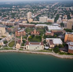
These maps designate key locations on Loyola’s campus where the physical landscape’s change can be seen. The red path with numbered bubbles spans the center of campus, while the green bubbles represent additional points of interest shown in the narrative. If a mobile device is available to you, feel free to explore these sites with their corresponding photographs, which are marked according to the site number below, as well as within the narrative.
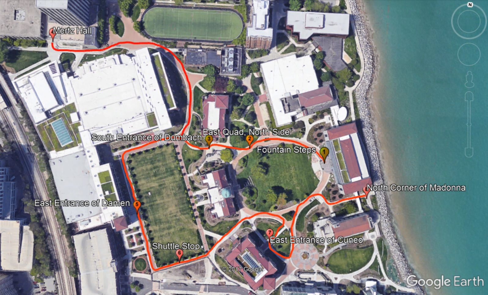
Path stops:
- Jesuit Residence, Cudahy Library
- Dumbach Hall, Cudahy Science Hall, Resurrectiai
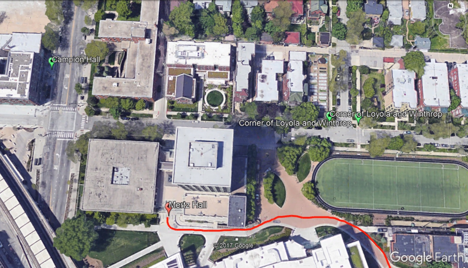
- Mertz Hall
- Alumni Gym, parking lot
- Football players, Loyola Fair, Damen Hall, track, George Halas Jr. Sports Center
- Loyola ROTC, Loyola Fair, Damen Hall
- Madonna della Strada
- Madonna della Strada
Additional stops:
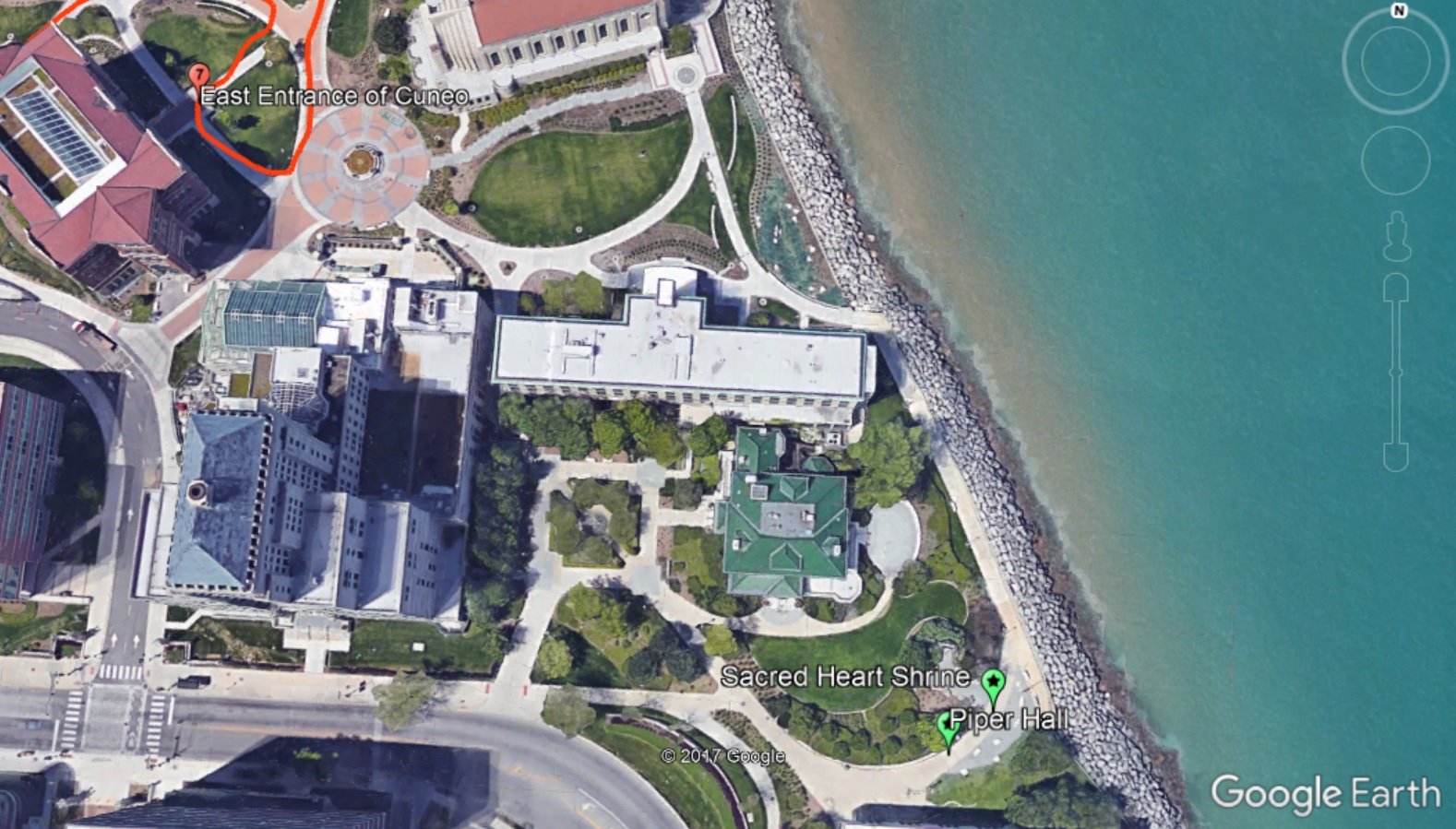
- Wheeler House/Piper Hall (Sheridan Road, south of campus)
- Sacred Heart Shrine (Sheridan Road, south of campus)
- Campion Hall (Sheridan Road, north of campus)
- Chamberlain Hall (east corner of Loyola and Winthrop)
- Stebler and Lewis Halls (west corner of Loyola and Winthrop)